Frequently Asked Questions
What can King Tides tell us about future sea level rise?
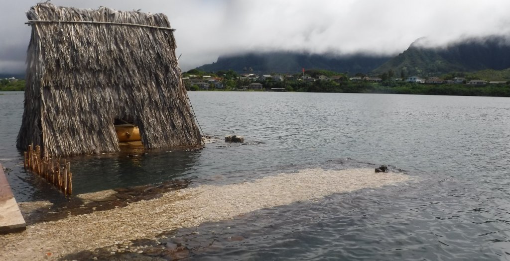
King Tides (the highest high tides of the year) provide a glimpse into the future of what our shorelines may look like on a more regular basis as a result of rising sea levels. We know that global mean sea level is rising at an increasing pace. Pacific Island communities are especially vulnerable to the impacts of sea level rise, because so many of our homes, businesses, agriculture lands, cultural and historic sites, and important ecosystems are located in low-lying coastal areas. With sea level rise, today’s extreme high tide will be tomorrow’s norm, and the impact of King Tide events can help us better understand and prepare for sea level rise.
Why have I never heard of a King Tide before?
“King Tide” is simply a non-scientific term used to describe the highest astronomical tide of the year. Commonly used in Australia and New Zealand the term has grown in popularity in the Hawaiian Islands in recent years.
Are King Tides caused by climate change?
King Tides are not caused by climate change, but rather they are a naturally occurring predictable event that results from the interplay of gravity between the sun, the moon, and the Earth. When these three bodies are in alignment and at their closest points in their orbits to each other, the gravitational pull is especially strong. This results in more extreme tides, both higher high tides and lower low tides.
Where should I take photos of King Tides?
We are interested in any and all locations that show King Tides along coastlines. Many of our community scientist have fished, surfed, swum, paddled, and lived along the coast for many years, decades, or generations. This place-based knowledge or local knowledge is one of the strongest assets of the project. By submitting photographs and observations of coastlines that you are familiar with, you can help us better understand how King Tides differ from average water levels of the past. Another great tool that you can utilize to decide where to take photos is NOAA’s Sea Level Rise Viewer. The Sea Level Rise Viewer enables users to visualize potential impacts from sea level rise. Users can select different sea level rise scenarios between 0 and 6 feet. Areas that show flooding in the tool might be interesting locations to photograph during a King Tide.
How can King Tides photos be used and credited?
By contributing photographs to the project, community scientists give permission for King Tides images to be used and reproduced for non-commercial purposes including education, research, and public outreach. All photographs should be credited to “Hawaiʻi Sea Grant King Tides Project.”
IN THIS SECTION
Hawaiʻi and Pacific Islands King Tides Project

