Sea-level rise
Estimating the economic value of coastal tourism under climate change using revealed mobile phone network data
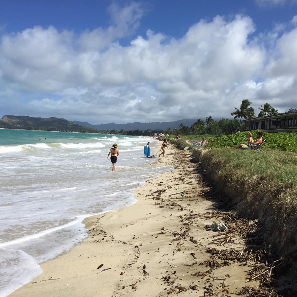
Research Projects 2024-2026 PRINCIPAL INVESTIGATOR: Nori Tarui Co-INVESTIGATORS: Takahiro Tsuge, Takahiro Kubo Sea Grant Graduate Fellow: Albert Yee Research Track: Island Resilience and Sustainability Tourism is one of the leading drivers of economic activity in Hawaiʻi, with beaches and ocean ...
Developing design flood elevations and envisioning sea-level rise adaptation strategies for a densely developed coastal community, Waikīkī, Hawai‘i for improved outcomes for communities, economy, and the stewardship of marine resources
Research Projects 2024-2026 PRINCIPAL INVESTIGATOR: Wendy Meguro Co-INVESTIGATOR: Charles Fletcher Sea Grant Graduate Fellow: Research Track: Island Resilience and Sustainability Since 2020, the interdisciplinary research team has enhanced Hawai‘i’s resilience by gathering feedback from hundreds of community members to create ...

Salt Pond Hydrogeologic Investigation – Discussion
DISCUSSION To better understand hydrology in the area, various research techniques were used including electrical resistivity, analysis of radon concentrations, self-potential tests, hydrologic modeling, and analysis of salt pond water level and salinity changes. Findings indicate that thick (~9 ft) ...
Salt Pond Hydrogeologic Investigation – Endnotes
ENDNOTES [1] High hydraulic conductivity means the substrate, e.g. basalt, allows water to easily flow through it [2] MacIntyre, S., 1995. “Trace gas exchange across the air-sea interface in fresh water and coastal marine environments.” Biogenic trace gases: Measuring emissions ...
Salt Pond Hydrogeologic Investigation – APPENDIX 2. A Note About Modeling
APPENDIX 2. A Note About Modeling Why Do We Need Models? Models are useful in understanding of water flow and chemical transport processes and for improving on theories. They are useful for the design field data collection schemes, emphasizing needed ...
Salt Pond Hydrogeologic Investigation – APPENDIX 1 Water Level Sensor Details
APPENDIX 1. Water Level Sensor Details Link to GAIA GPS Shared folder - https://www.gaiagps.com/public/RcYcxuc1cuHNDw2J2rqlXGzF Water Level Sensors were placed in the field on Aug 20, 2021. Photos in this appendix share more info on the specific coordinates for each node/water ...
Salt Pond Hydrogeologic Investigation – Recommendations
RECOMMENDATIONS Based on ongoing kilo by the salt-making practitioners, it has been observed that wave overtopping of the beach berm occurs during periods of large summer swell and high tides, and the magnitude of overtopping increases when the beach berm ...
Salt Pond Hydrogeologic Investigation – Hydrologic Modeling
HYDROLOGIC MODELING Methodology The specific objectives of this section are: Develop a conceptual model of the study site. Use available sensor observations to calibrate the related numerical model to mainly estimate hydraulic properties of the area. Apply the model for ...
Salt Pond Hydrogeologic Investigation – Hydrogeophysics
HYDROGEOPHYSICS ELECTRICAL RESISTIVITY TOMOGRAPHY Methodology 2D electrical resistivity tomography (ERT) was used to achieve two main objectives: (1) Identify and characterize the subsurface geology of the pond; and (2) Identify locations and quantify the magnitude of subsurface water exchange between ...
Salt Pond Hydrogeologic Investigation – Water Balance from Geochemical Tracers
WATER BALANCE FROM GEOCHEMICAL TRACERS Figure 9 shows a simplified schematic of the water sources to Salt Pond. Geochemical methods can be used as tracers for some of these sources as they rely on naturally occurring chemical components dissolved in ...