Scroll Top
Green Infrastructure for Stormwater Management Home
Green Infrastructure Practices for Hawaii - graphic
Stormwater and Flooding in the Coastal Zone - graphic
Green Infrastructure Tools and Resources - graphic
Recommended Practices for Streamside Homes - graphic
Runoff and Reuse in the Hawaiian Context graphic
Green Infrastructure Glossary, what does it all mean? - Graphic

Tools + Resources

National Resources

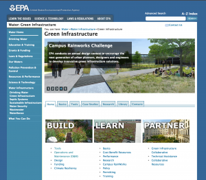
Screen shot of webpage 'EPA: green infrastructure'

The Environmental Protection Agency site on Green Infrastructure. This site contains information to help you build and learn about national partnerships.

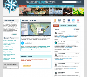
Screen shot of webpage 'national nemo network'

The National Nonpoint Education for Municipal Officials (NEMO) Network is a collection of outreach education programs across the U.S. that educate local land use decision makers about protecting water quality as communities grow.

Screen shot of webpage 'center for watershed protection'

The Center for Watershed Protection, Inc. is a 501(c)(3) non-profit organization dedicated to fostering responsible land and water management.

Screen shot of webpage 'American society of landscape architects - green infrastructure works'

The American Society of Landscape Architects outlines Green Infrastructure as a professional practice. Includes an overview of benefits and practices.

State Resources

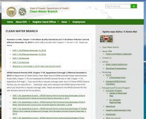
Screen shot of webpage 'state of hawaii department of health clean water branch'

The State of Hawaiʻi Department of Health (HDOH) Clean Water Branch is in charge of administering stormwater NPDES permits and monitoring water quality.

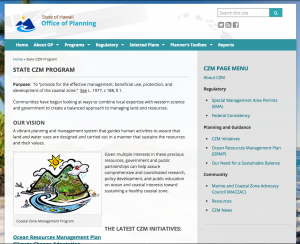
Screen shot of webpage 'state of hawaii office of planing - state czm program'

The State of Hawaiʻi Office of Planning Coastal Zone Management (CZM) Program website includes information on their various coastal issues including stormwater management.

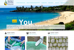
Screen shot of webpage 'protect our water - storm water and you'

The State of Hawaiʻi Department of Transportation has put together a comprehensive Stormwater Management Plan Program, which includes the use of LID Best Management Practices.

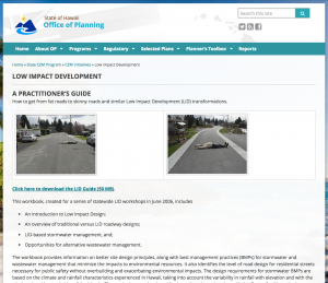
Screen shot of webpage 'office of planning low impact development'

The State of Hawaiʻi Office of Planning has a practitioner’s guide on LID that provides information on better site design principles, along with best management practices (BMPs) for stormwater management.

County Resources

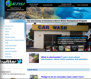
Screen shot of web page 'City and County of Honolulu's Storm Water Management Program'

The City and County of Honolulu Department of Environmental Services assists the city in developing and implementing Stormwater Management Program Plan for its Municipal Separate Stormwater Sewer System (MS4) permits.

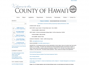
Screen shot of webpage 'welcome to the county of hawaii engineering division'

The County of Hawaiʻi Department of Public Works Engineering Division’s primary responsibility is to plan, design, review, and construct road, flood control facilities and bridges.

Screen shot of webpage 'County of Kauai engineering division'

The County of Kauaʻi Department of Public Works Engineering Division works on the county’s Storm Water Management Program.

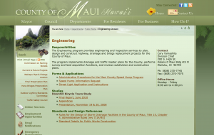
Screen shot of web page 'county of Maui hawaii'

County of Maui Department of Public Works Engineering division.

Community Projects and Initiatives

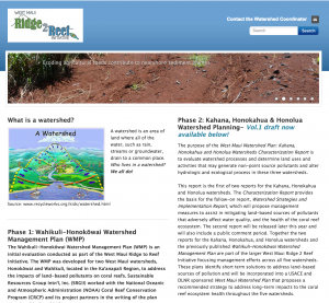
Screen shot of web page 'West Maui ridge 2 reef initiative'

The purpose of the West Maui Watershed Plan: Kahana, Honokahua and Honolua Watersheds Characterization Report is to evaluate watershed processes and determine land uses and activities that may generate non-point source pollutants.

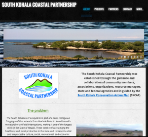
Screen shot of web page 'South Kohala Coastal Partnership'

The South Kohala Coastal Partnership was established through the guidance and collaboration of community members, associations, organizations, resource managers, state, and federal agencies.

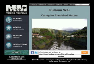
Screen shot of webpage 'Pulama Wai: Caring for cherished waters'

To address the land-based pollution in the Maunalua region, Malama Maunalua (MM) has established a watershed program: Pulama Wai (Cherished Waters). Malama Maunalua’s watershed program Pulama Wai, had its first event in April 2012.

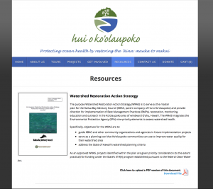
Screen shot of a webpage for 'watershed restoration action strategy'

In 2007, Hui o Koʻolaupoko (HOK) was established as a permanent 501(c) 3 non-profit entity, serving as the successor organization of the Kailua Bay Advisory Council (KBAC)

Stormwater Manuals

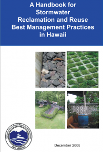
'A handbook for stormwater reclamation and reuse best management practices in Hawaii' cover page

A Handbook for Stormwater Reclamation and Reuse Best Management Practices in Hawaiʻi was put out by the State of Hawaiʻi Department of Land and Natural Resources Commission on Water Resource Management

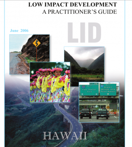
Low impact development: a practitioner's guide. Contains images of roadways in Hawaii and some young Hula students.

A Practitioner’s Guide to Low Impact Development distributed by the Hawaiʻi State Office of Planning.

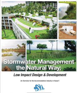
Flyer for 'stormwater management the natural way: low impact design and development'. Contains five images of green infrastructure and development around Hawaii.

Stormwater Management the Natural Way: Low Impact Design and Development by the Coral Reef Aliance.

Tools

Hawaiʻi Low Impact Development (LID) Atlas

Map of Oahu for the Low Impact Development Atlas

The Hawaiʻi LID Atlas is a collection of alternative stormwater management practices currently installed across the state. The Atlas is hosted by the National Nonpoint Education for Municipal Officials (NEMO) Network and the University of Hawaiʻi Sea Grant Program.

It is an online resource providing geo-referenced examples of green infrastructure and low impact development for stormwater management. You can browse the Atlas by either selecting a town, land use type, project type, or by simply clicking on pinned sites.

You can add your own project to the atlas by filling out the Hawaiʻi LID Atlas Submission Form.

Click the LID Atlas on the left to explore!

The ‘Rain Garden’ Mobile Application

‘Rain Garden’ is a free mobile application (app) designed to help you properly install a rain garden at your home, office, or job site.

Through video tutorials, diagrams, text, and tools, the app guides you through determining the size and placement of your garden, selecting plants, digging and planting your garden, and maintaining your garden.

It also includes tools for determining your soil type, measuring the size of the area that will drain to your garden, and managing multiple rain garden projects.

Download the app to your smartphone to get started.

Go to App Store
UCONN Rain Garden App