Stormwater + Flooding in the Coastal Zone
Water has sculpted the Hawaiian islands into the beautiful and dramatic archipelago we see today. For millenia, water has fallen from the sky and followed the force of gravity from mountains to sea. This process formed tributaries, streams, and rivers which travel toward the ocean.
Over time, these pathways have shaped our islands by eroding stone and forming valleys. Today, these areas function as watersheds, land areas that collect and ‘funnel’ rainwater into a common outlet. In a natural system, rain is absorbed by native and endemic species, infiltrates into the soil towards the aquifer, and flows over the surface towards the nearshore areas of our ocean.
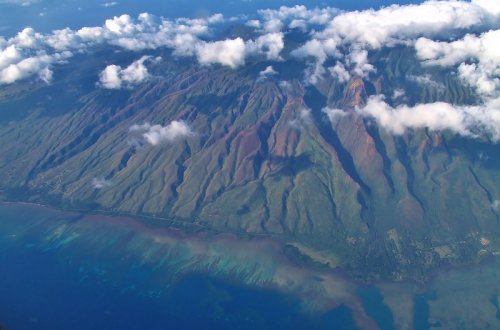
Hawai‘i’s watersheds have special characteristics that both enhance their beauty and the hazards they present. The islands’ steep and relatively short watersheds can become overwhelmed by water during high-intensity rain events. Excess stormwater that cannot be absorbed into the ground accumulates on the surface. In developed areas, this causes flooding.
The elimination of natural meandering streams and wide floodplains has exacerbated the risk of flooding in developed areas. In recent years several flooding events across the state have had significant impacts on local communities. As global climate change impacts weather patterns, storms in Hawaii are expected to become more intense and hurricanes may become a greater threat to the islands. In the context of our current stormwater management system, climate-change induced terrestrial flooding, sea level rise, and groundwater inundation pose significant threats to community, economic, and environmental health. The wide-scale implementation of green infrastructure would help to mitigate these hazards while enhancing ecosystem health. Like the natural system it mimics, green infrastructure performs best when functioning as a network.
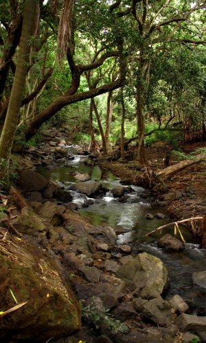
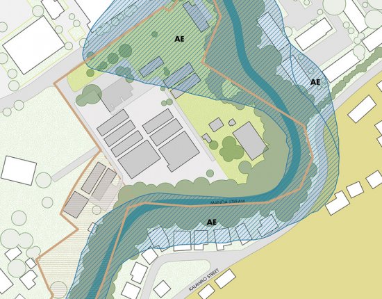
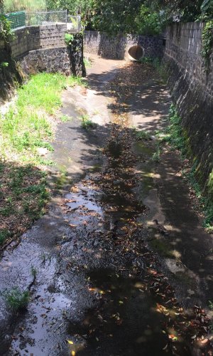
Upper Manoa Stream (left) allows water to slowly meander towards the ocean and, on occasion, overflow its banks. Lower portions of the same stream (right) have been channelized to expedite the flow of water from land to sea. Developed portions of the watershed adjacent to channelized streams occupy what was once floodplain, now known as the ‘flood zone’ (center), and are susceptible to damage.


