Groundwater inundation: Doubling community damage from sea level rise
PRINCIPAL INVESTIGATOR: Chip Fletcher
Graduate Trainee: Shellie Habel
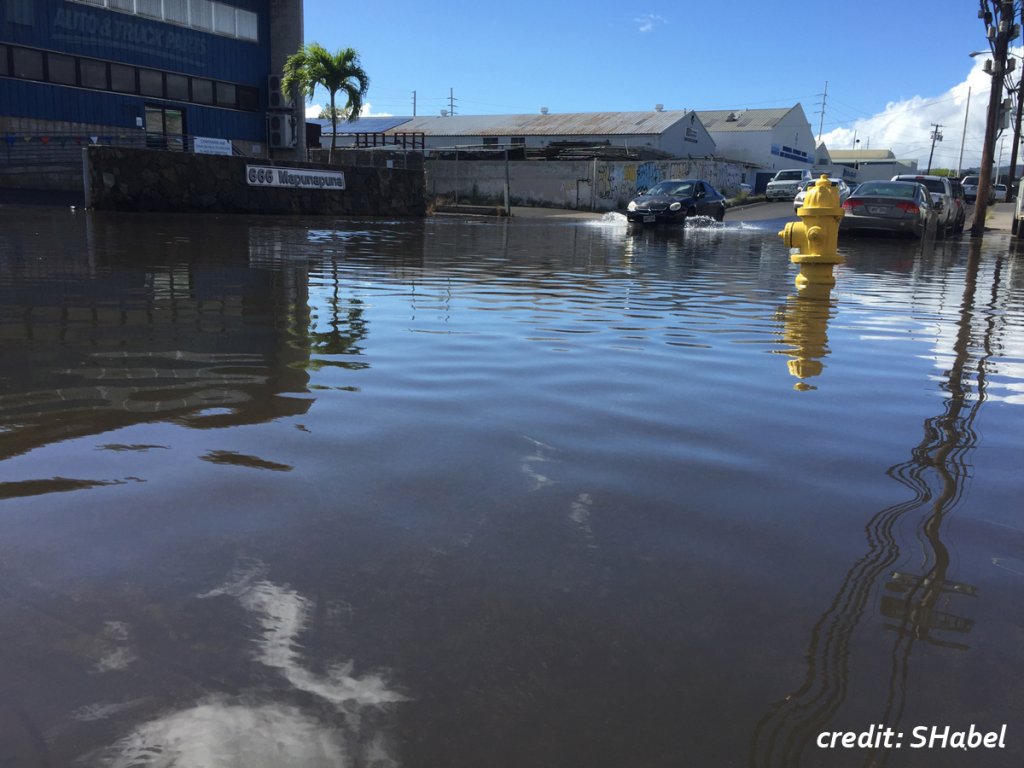
Many of the Nation’s largest cities face risk of sea level rise induced flooding owing to their limited elevations and proximities to the coastline. Climate scientists generally agree that global mean sea level could reach approximately 1/3 m by mid-century, and 1 m by the year 2100. This magnitude of rise would bring about more frequent and extreme tidal flooding and inundation by tidally influenced coastal groundwater. In turn, the upward migration of coastal water tables would produce localized narrowing and eventual loss of vadose zones, especially during periods of extreme high tide. This has implications for a dense network of submerged and low-lying infrastructure that exists across the Nation’s urban coastal zones. Chronic inundation of submerged infrastructure will be, and in some cases already is, a manifestation of sea level rise related flooding.
In this study, we developed a modeling methodology that can be tailored to simulate flooding across specific urban coastal zones, generated by sea level rise induced lifting of tidally influenced coastal groundwater. The methodology combines terrain modeling, groundwater monitoring, and numerical groundwater flow modeling (MODFLOW-2005) to simulate future flood scenarios considering user specified tide stages and magnitudes of sea level rise. Data used for modeling is publicly available across many urban coastal municipalities, thus the methodology is widely applicable in locations that generally face the highest risk. Further, the model output can be seamlessly incorporated into GIS platforms for use in hazard analysis. We developed an example of this methodology using a case study from the heavily urbanized and low-lying Waikiki area of Honolulu, Hawaiʻi. Results of the methodology have the potential to provide local stakeholders with crucial information regarding the approaching threat to infrastructure for use in preparatory planning.
.