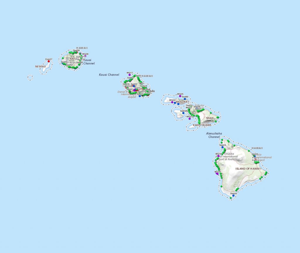
Marine pollution sampling in Hawaiʻi
This map is a compilation of sampling data gathered at a workshop hosted by Hawaiʻi Sea Grant and the Water Resources Research Center focusing on land-based pollutants on Hawaiian reefs. Each point on the map contains information about the type of sampling conducted, as well as contact information for the responsible organization and a link to the data when possible. We hope that this information can assist other researchers or resource managers in the future as they develop projects, and we imagine it will prove to be a useful resource for all those who are interested in understanding the existing monitoring and research efforts focusing on land-based pollutants on Hawaiian reefs. We would like to emphasize that this is not a fish consumption guide and is not intended as an indicator of clean vs. dirty locations. Rather our goal is to share the state of our collective knowledge so that we can prioritize collaborative, impactful research as we move forward. We will update the map as possible, but please contact Eileen Nalley (enalley@hawaii.edu) or Michael Mezzacapo (mmezz@hawaii.edu) with any questions.


